Orange County California – 1889
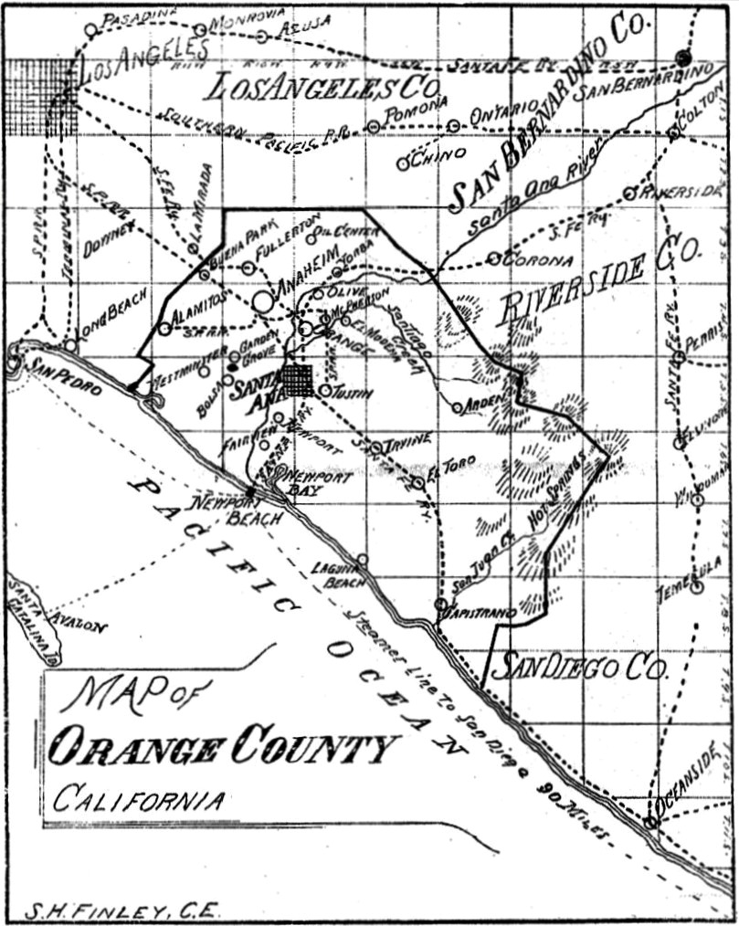
Map of Orange County, 1889
This map of Orange County was drawn shortly after the County of Orange was created in 1889.
It took almost 20 years of struggle by local business and civic leaders for Orange County to break away from Los Angeles.
Two failed attempts were made in 1870 and 1872.
It wasn’t until March 11, 1889 that the California Legislature signed a bill into law that recognized Orange County as a separate political entity.
Local residents approved the bill on June 4, 1889, and a second election on July 17, 1889, finalized Santa Ana as the County Seat.
With everything in place, Orange County was officially born on August 1, 1889.
Though there were few orange groves at the time, the name was chosen because it was attractive had a tropical flair, and civic leaders believed it would draw people to the area.
Map used if from Jewish Pioneers of Orange County, WSJH, Vol. 44, No.3/4